Within the framework of the EXTREME-FUN project, we are investigating how benthic primary production, the biomass of microphytobenthos and the amount of carbon that is buried or exported from the system varies throughout the year, and at different points in the Bay of Cadiz.
How do we do it?
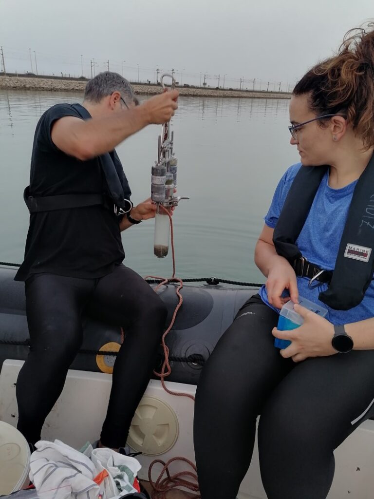
Using a zodiac, which allows us to access difficult shallow areas, we collect 25 sediment cores distributed throughout the Bay and 15 more distributed in each of two opposite areas with different characteristics (one sandy, one muddy), allowing to obtain a higher spatial resolution.

In order to scale up the data obtained to a higher spatial resolution, we fly at the same time drones equipped with multispectral and thermal cameras and we coordinate the sampling with the pass of SENTINEL 2 satellite.

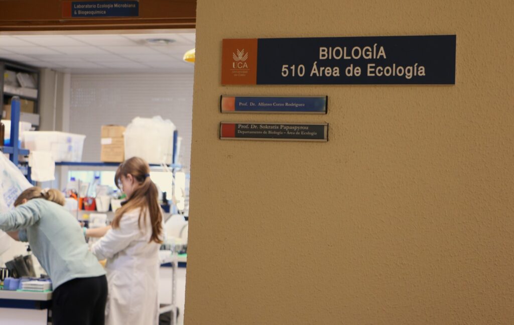
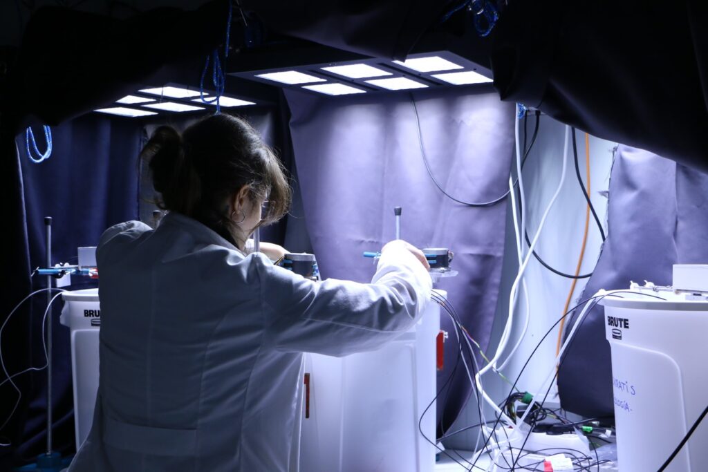
When the sampling is finished, we transport all sediment cores to the laboratory and we measure several biogeochemical variables such as oxygen fluxes, reflectance, chlorophyll, grain size, etc.

¿Why are we doing that?
In order to estimate the effect of extreme events, such as heatwaves and storms, which are becoming more frequent and intense, on the biogeochemistry of intertidal sediments, it is essential to know the baseline conditions in the Bahia. Therefore, this sampling intends to increase the data available, allowing us to upscale using remote sensing, before studying the extreme events.
By : Sandra Rizzo Calderon
PID2020-112488RB-I00/ AEI / 10.13039/501100011033 «R&D Projects» 2020 – Modalities «Research Challenges» and «Knowledge Generation» // PI: Sokratis Papaspyrou /Alfonso Corzo (226.000 €)


